
You are ready to apply for a building permit, but the permit office has requested a site plan. You do not have a recent property survey, and ordering one could add time and expense to your project. This raises a common question: Can a site plan replace a survey for a building permit?
In some situations, a site plan prepared from existing property records is enough for the permit application. In others, the local authority specifically requires a licensed boundary survey, topographic survey, or other professionally verified information.
The answer depends on the project, property conditions, and jurisdiction.
A site plan and property survey serve different purposes. Understanding that distinction can help you avoid ordering unnecessary documents while ensuring your application meets the requirements that actually apply.
This guide explains when a site plan without a survey may be accepted, when a licensed survey is necessary, and how to determine the right documentation before submitting your permit application.
Can You Get a Building Permit Without a Property Survey?
Yes, some building permits can be obtained without ordering a new property survey. Many local jurisdictions accept a site plan prepared using existing surveys, recorded plats, parcel records, or other appropriate property information for certain projects.
However, acceptance is not universal. A municipality may require verified boundary information when construction is close to a property line, when the available records are inconsistent, or when the project involves significant site development.
Some jurisdictions also require professionally prepared or certified plans for particular project types. The important question is not whether a survey can always be avoided. It is whether your permit office accepts the available property information for the work you are proposing.
City Permit Plans provides site plans without a new survey for eligible projects where existing records are sufficient for the required drafting scope.
What Is the Difference Between a Site Plan and a Survey?
A site plan is a scaled drawing showing the layout of a property and the location of existing and proposed improvements. It may include property boundaries, building footprints, driveways, setbacks, easements, and other information relevant to permit review.
A property survey is prepared within the professional scope of a licensed land surveyor. Depending on the survey type, it may establish boundaries, document elevations, or verify other physical and legal site information.
The distinction matters because drawing a property line on a site plan does not establish that boundary through professional surveying. A site plan can use reliable survey information, but it does not automatically become a survey. For a broader comparison, read our site plan vs. survey guide.
When Can a Site Plan Replace a New Survey?
A drafted site plan may satisfy the permit office’s requirements when the jurisdiction does not specifically require a new survey and the available property information is adequate. This may be possible for relatively straightforward residential projects.
For example, a homeowner planning a backyard shed may already have an existing survey showing the property boundaries and major structures.
If the proposed shed is clearly within the permitted building area and the jurisdiction accepts the existing information, a new survey may not be necessary.
Similarly, some fence or deck permits can be supported by a site plan prepared from available property records. The key conditions are that the information is reliable enough for the application and that the reviewing authority accepts the proposed documentation.
When Is a Licensed Property Survey Required?
A licensed survey may be necessary when accurate boundary or elevation information is essential to the project.

Construction Near Property Lines
If a proposed structure is close to a required setback, small boundary uncertainties can become significant. A building department may require verified boundary information to confirm compliance.
Unclear or Disputed Boundaries
Existing fences, landscaping, and online parcel maps do not necessarily establish legal property lines. If the boundary is uncertain or disputed, a licensed land surveyor may be needed before construction.
Complex Grading or Drainage
Projects involving significant grading, slopes, drainage changes, or elevation-sensitive design may require a topographic survey. A basic site plan cannot replace required elevation measurements or engineering analysis.
Subdivisions and Property Boundary Changes
Subdivision, lot-line adjustment, and other legal land development processes typically require professional surveying documentation. These activities involve legal property information beyond the scope of ordinary site plan drafting.
Explicit Jurisdiction Requirements
If the permit checklist specifically requires a current survey or licensed surveyor’s certification, submitting an ordinary drafted site plan is not an equivalent alternative.
Confirm the exact survey type required before ordering.
Can You Use County GIS Records Instead of a Survey?
County GIS systems can provide useful information about parcel locations, approximate boundaries, zoning, and surrounding development. They are valuable resources for preliminary site planning.
However, GIS parcel lines are not automatically equivalent to surveyed property boundaries. Mapping information may contain positional inaccuracies or differ from the legal boundary determined through professional surveying.
This is especially important when proposed construction is close to a setback line. Learn more about GIS parcel data accuracy before relying on online property maps for permit drawings.
What If You Already Have an Old Property Survey?
An existing survey may provide a useful foundation for a new site plan. Before using it, check whether the property has changed since the survey was prepared.
New structures, additions, easements, fences, or boundary adjustments may affect its usefulness. The permit office may also have specific requirements concerning the age or content of submitted survey information.
An older survey is not automatically invalid, but it should not be assumed to represent current conditions without review.
If the jurisdiction accepts the available survey, a new permit site plan can often be prepared using that information.
Which Projects May Qualify for a Site Plan Without a Survey?
Different construction projects have different documentation needs.
Fence Permits
Some fence permits require a simple site plan showing the proposed fence alignment, property boundaries, gates, and relevant setbacks. However, a boundary survey may be necessary when the exact fence location is uncertain.
Review the fence permit site plan requirements before deciding what information to use.
Deck Permits
Deck site plans commonly show the proposed deck footprint, its relationship to the house, and distances from property boundaries. A new survey may not be necessary if acceptable property information already exists.
The deck permit site plan guide explains the information commonly included in these drawings.
Pool Permits
Pool site plans may require details about setbacks, equipment, barriers, easements, and nearby structures. Depending on the property and local regulations, survey information may be necessary. Learn more about pool permit site plans.
Sheds and Accessory Structures
Small accessory buildings may qualify for permit drawings based on existing records when the jurisdiction accepts them. Larger structures or projects near property boundaries may require more accurate information.
Home Additions and ADUs
Additions and accessory dwelling units often involve more complex setback, lot coverage, utility, and building separation requirements. Survey information may be particularly important when the proposed footprint approaches a property boundary. Review the ADU site plan requirements before beginning the application.
How to Get a Site Plan Without Ordering a New Survey
The process begins with confirming that the local permit office accepts a drafted site plan for your project.
Step 1: Check the Permit Checklist
Review the building department’s current application requirements. Determine whether the department asks for a site plan, plot plan, boundary survey, or another specific document.
If the terminology is unclear, ask the department what source information is acceptable.
Step 2: Gather Existing Property Records
Collect any available survey, recorded plat, previous site plan, parcel information, and other relevant documents. These records may help establish the property layout for drafting.
Do not assume that approximate parcel mapping is sufficient when the project requires verified boundaries.
Step 3: Provide Your Project Details
Describe the proposed construction and provide its dimensions and intended location. Include sketches, measurements, photos, and any comments received from the permit office.
Accurate information makes the drafting process more efficient.
Step 4: Have the Site Plan Prepared
If the project qualifies, a drafting service can prepare a site plan using the available property information. City Permit Plans offers building permit site plan drafting for eligible residential and commercial projects.
The drawing should reflect the permit checklist and clearly identify the proposed improvements.
Step 5: Review and Submit
Check the completed drawing before filing. Confirm the property information, dimensions, setbacks, and proposed layout. Submit the plan with the required application forms and supporting documents.
If the reviewer requests corrections, coordinate the necessary revisions.
How Much Does a Site Plan Without a Survey Cost?
The cost depends on the property, project scope, available information, and required drawing details. A basic drafted site plan may cost substantially less than commissioning a new field survey when surveying is not required. However, the services are not interchangeable.
A licensed survey provides professional boundary or other surveyed information that an ordinary drafting plan does not. City Permit Plans advertises standard residential site plan drafting starting at $129.
Review the site plan pricing options to understand the available services and request a quote for more complex work.
Can a Site Plan Without a Survey Be Rejected?
Yes, A site plan may be rejected or returned for corrections if it does not contain the information required by the permit office. Common issues include missing dimensions, unclear property boundaries, incorrect setbacks, incomplete project details, and insufficient supporting documentation.
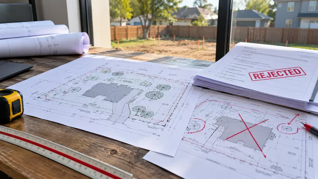
A plan may also be unsuitable when the jurisdiction specifically requires a licensed survey.
Reviewing common site plan rejection reasons before submission can help prevent avoidable problems. The best way to reduce this risk is to confirm the requirements before ordering the drawing.
What Should You Ask Your Building Department?
If you are uncertain whether a survey is required, contact the reviewing department and describe the proposed work. Ask whether an existing survey, recorded plat, or site plan prepared from available property records will satisfy the application.
Also ask whether the department requires a specific scale, professional certification, or additional information. Keep a record of the response when possible.
Requirements can vary by location, so understanding city and county permit differences is important.
Get a Permit Site Plan Without an Unnecessary Survey
A new property survey is not automatically required for every building permit. If your jurisdiction accepts a drafted site plan and the available property information is adequate, you may be able to move forward without commissioning a new survey.
However, boundary verification and other professional surveying requirements should never be bypassed when they are necessary. City Permit Plans helps homeowners and contractors prepare permit-focused site drawings using appropriate available property information.
Explore our site plan without survey service or request a quote to discuss your property, project scope, and permit requirements.
Frequently Asked Questions
Can I get a building permit without a property survey?
Yes, in some jurisdictions and for certain projects. The permit office may accept a site plan prepared from existing property records when a new survey is not required.
Is a site plan legally the same as a survey?
No. A site plan illustrates property layout and proposed improvements. A licensed survey provides professionally determined survey information within its scope.
Can I use a county GIS map for a permit?
Some jurisdictions may accept GIS-based information for certain site plans, but GIS parcel boundaries are not a substitute for a licensed survey when one is required.
Do I need a survey for a fence permit?
Not always. Requirements depend on local rules, fence location, and boundary accuracy.
Can an old survey be used for a new site plan?
Possibly. It should accurately represent relevant property conditions and satisfy the permit office’s requirements.
What happens if my permit office requests a survey later?
You may need to obtain the specified survey information and update the application or site plan accordingly.
Is a site plan without a survey cheaper?
It can be less expensive when the jurisdiction accepts drafting based on existing information. However, a lower-cost drawing should not be substituted for required licensed surveying.