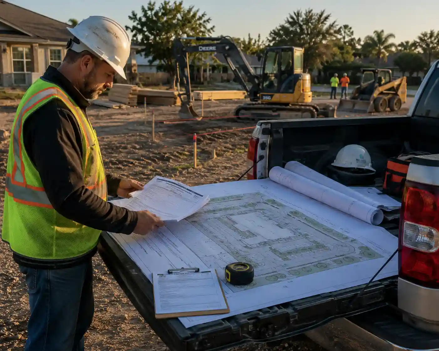
Commercial Site Plans That Explain the Entire Property—Not Just the Building.
We prepare and coordinate professional commercial site plan drawings for zoning review, building permits, tenant improvements, site development, parking changes, access modifications, exterior improvements, and commercial property planning. Every project begins with the actual parcel, existing conditions, proposed scope, and the requirements of the reviewing jurisdiction.
Custom quotedPricing matched to property and submission complexity
Permit focusedSite information organized for practical agency review
Nationwide supportRemote commercial property research across the US
Get a Free Quote
Commercial projects are custom quoted · response within 4 business hours
Please complete all required fields.
Commercial Quote Request Received
We will review the property and respond within 4 business hours.
Parcel contextProperty boundary and existing-condition research
Site coordinationBuildings, parking, access, utilities, and open areas
Local reviewJurisdiction-specific checklist research
Team readyUseful base for architects, engineers, and contractors
Revision supportReviewer comments coordinated within scope
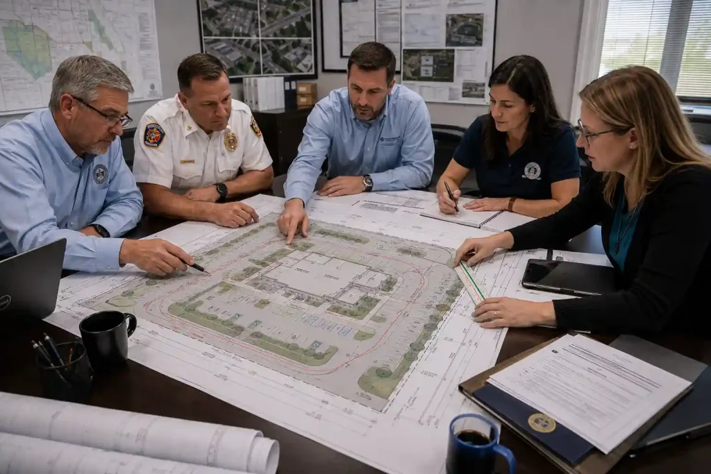
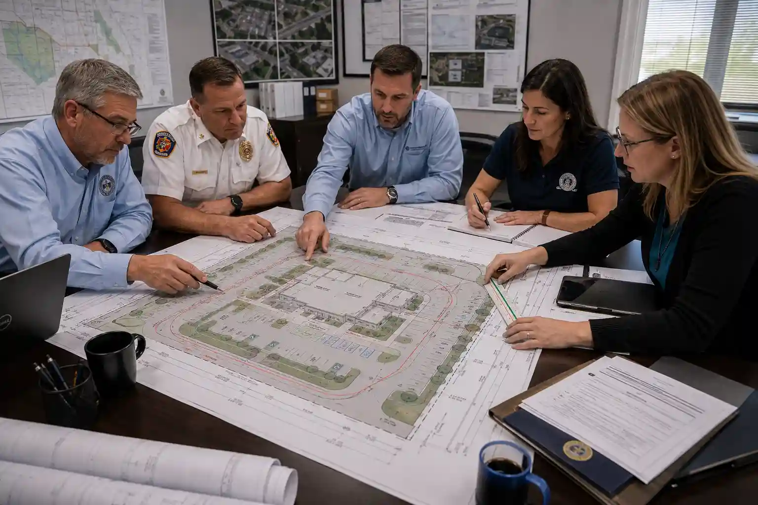
The site plan connects every outside elementProperty lines, buildings, parking, access, utilities, landscaping, drainage, and review requirements must work together.
What Is a Commercial Site Plan?
A Scaled Property Drawing for Commercial Development, Permitting, and Coordination.
A commercial site plan is a scaled overhead drawing that explains how a commercial property is organized and how a proposed project changes it. Unlike an architectural floor plan, which focuses on the interior and exterior construction of a building, the commercial site plan shows the relationship between the building and the land. It documents parcel boundaries, setbacks, existing and proposed structures, parking, drive aisles, loading areas, sidewalks, entrances, accessible routes, fire access, utilities, easements, landscaping, site lighting, drainage features, and other conditions required for zoning or permit review.
The drawing may support a new commercial building, an addition, a tenant improvement, a change of use, a restaurant, retail space, office, medical facility, warehouse, industrial property, storage building, parking modification, exterior renovation, sign project, or site-development application. The amount of detail depends on the project stage. A preliminary commercial site plan may be used for feasibility or early agency discussion, while a permit or construction site plan may require survey information, engineering, calculations, professional seals, and several coordinated sheets.
Commercial properties involve more users, vehicles, regulations, and public-safety considerations than a typical residential lot. The site plan must demonstrate that customers, employees, delivery vehicles, emergency responders, utility providers, and neighboring properties can interact with the proposed development safely and practically. A building that fits inside the property lines may still be unworkable if parking, fire access, loading, drainage, or accessible routes cannot be resolved.
City Permit Plans prepares and coordinates commercial site plan drawings using the property information, available records, proposed project scope, and reviewing-agency requirements. We also identify when the application requires a current survey, civil engineering, architectural design, landscape architecture, traffic analysis, environmental review, or other licensed professional services beyond a drafting scope.
New commercial development and existing-site modifications
Parking, circulation, accessible routes, loading, and fire access
Building additions, tenant improvements, and change-of-use support
Coordination with surveyors, architects, engineers, and agency comments
The Property Information Reviewers Need to Understand the Proposal.
A commercial building site plan is not a single universal template. The exact components depend on local zoning, building, fire, accessibility, engineering, and site-development standards. These are the most common drawing elements.
01 / PARCEL
Property Lines, Dimensions, and Easements
The plan establishes the property boundary, lot dimensions, rights-of-way, recorded easements, access agreements, setbacks, and other legal or mapped constraints. A current licensed survey may be required when precise boundary, topographic, utility, or easement certification is necessary.
02 / BUILDINGS
Existing and Proposed Structures
Existing buildings, additions, canopies, loading structures, trash enclosures, utility buildings, signs, and proposed improvements are located and labeled. Overall dimensions, building separation, floor-area information, and use labels may be included when requested.
03 / PARKING
Parking Counts and Layout
Standard, compact, accessible, electric-vehicle, bicycle, motorcycle, and loading spaces may be shown with stall sizes, access aisles, striping, signage, and counts. Required parking calculations depend on the proposed use and local code.
04 / CIRCULATION
Driveways, Drive Aisles, and Vehicle Movement
The plan can show curb cuts, entrances, exits, gates, drive aisles, turn paths, service access, loading routes, stacking areas, and internal circulation. Larger vehicles or complex sites may require a formal turning analysis by a qualified professional.
05 / ACCESSIBILITY
Accessible Parking and Pedestrian Routes
Accessible spaces, access aisles, curb ramps, walkways, slopes, landings, entrances, and routes may be shown. Detailed accessibility compliance and grading may require architectural or civil design based on field elevations and applicable standards.
06 / FIRE
Emergency and Fire Department Access
Fire lanes, apparatus access, gates, clear widths, hydrants, building access points, turning areas, and fire-department connections may be relevant. Final requirements are determined by the fire authority and may require separate technical review.
07 / UTILITIES
Water, Sewer, Storm, Power, and Site Services
Known or proposed utility lines, meters, transformers, service points, grease interceptors, backflow devices, fire services, septic components, and mechanical equipment can be shown when information is available. Engineered utility design remains a separate professional service where required.
08 / SITE DATA
Landscape, Lighting, Drainage, and General Notes
Landscape areas, buffers, trees, screening, lighting fixtures, grading arrows, drainage features, impervious area, open space, zoning data, north arrow, scale, legend, title block, and jurisdiction notes may be included according to the project and review checklist.
Commercial Site Plan Project Types
Different Uses Create Different Site-Planning Priorities.
The same parcel can function very differently as a restaurant, retail store, office, medical facility, warehouse, or mixed-use property. The site plan must be organized around the proposed use.
Retail & Restaurant
Customer Access, Parking, Deliveries, and Outdoor Operations
Retail and restaurant projects often depend on clear customer circulation, accessible entrances, parking counts, delivery areas, trash collection, grease-service access, outdoor seating, signage, drive-through stacking, and fire-department access. A change from one commercial use to another may affect parking and site requirements even when the building footprint remains unchanged.
Office & Medical
Accessible Routes, Employee Parking, and Service Coordination
Office and medical uses may require careful attention to accessible parking, passenger drop-off, emergency access, pedestrian routes, employee and visitor parking, ambulance or service areas, waste handling, equipment locations, and building entrances. Medical uses can trigger additional operational or agency requirements that should be identified early.
Industrial & Warehouse
Truck Circulation, Loading, Outdoor Storage, and Utilities
Industrial and warehouse site plans may involve loading docks, trailer storage, truck turning, employee parking, fire lanes, secure gates, outdoor storage, utility yards, stormwater facilities, hazardous-material areas, and equipment access. Vehicle size and operational circulation can control the layout as much as the building itself.
Addition, TI & Change of Use
Existing Property Conditions Re-Evaluated for New Work
A tenant improvement or building addition may look like an interior project, but exterior site conditions often need review. The new use can change required parking, accessible routes, loading, trash, fire access, outdoor seating, occupancy, signage, or utility demand. The commercial site plan documents how the existing property supports the proposed change.
Commercial Site Feasibility
Eight Conditions That Can Determine Whether the Concept Works.
A commercial site development plan should reveal the constraints before the project team invests heavily in architecture, engineering, leasing, equipment, or construction pricing.
01
Zoning and Use Classification
The proposed business must be allowed on the property or qualify through an approval process. Zoning may control use, building placement, height, floor area, setbacks, open space, parking, landscaping, signage, outdoor activity, and operating conditions. A commercial-looking property does not automatically permit every commercial use.
02
Parking Demand and Required Counts
Parking requirements may be based on floor area, seats, employees, rooms, service bays, dwelling units, or another use-specific formula. Shared parking, reductions, transit adjustments, bicycle parking, electric-vehicle spaces, and accessible spaces may affect the final count. A use can fit inside the building but fail because the site cannot support the required parking.
03
Access, Driveways, and Traffic Movement
Existing curb cuts may not support the proposed use or traffic level. Driveway width, sight distance, turning movement, queueing, shared access, median conditions, delivery routes, and public-road approvals can shape the design. Transportation departments may require separate review or a traffic study for larger projects.
04
Fire Access and Building Separation
Fire-apparatus access, clear width, turning radius, gate operation, hydrants, fire lanes, distance to the building, and aerial access can affect the available building and parking layout. These requirements are especially important for larger buildings, deep lots, gated sites, additions, and industrial properties.
05
Utilities and Service Capacity
Commercial uses can create significant water, sewer, electrical, gas, fire-flow, grease, waste, and communication demands. The existing service may not be adequate for a restaurant, medical office, manufacturing use, or major tenant improvement. Utility availability and capacity should be investigated before the site layout is treated as final.
06
Drainage, Flooding, and Impervious Area
New buildings, parking, sidewalks, and loading areas increase impervious surface and can change stormwater runoff. Existing drainage patterns, flood zones, detention facilities, inlets, swales, grading, and downstream systems may require civil engineering. A conceptual plan should preserve realistic space for drainage rather than use every open area for parking or building.
07
Accessible Routes and Grade
Accessible parking is only useful when connected to an entrance by a compliant route. Existing slopes, curbs, stairs, drainage, door thresholds, and property grades may make a direct route difficult. Field elevations and detailed design are often necessary to confirm slopes and transitions.
08
Easements, Buffers, and Existing Improvements
Utility easements, drainage easements, access agreements, landscape buffers, protected trees, retaining walls, signs, loading areas, trash enclosures, utility equipment, and neighboring access can reduce the developable area. A reliable site plan maps these competing conditions before the team commits to a footprint.
Commercial property research and feasibility
Scaled site layout and permit coordination
Architect, engineer, survey, and owner coordination
Our Commercial Site Plan Process
From Property Records to a Coordinated Site Drawing.
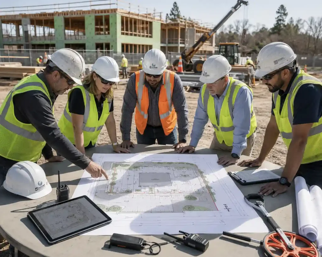
Commercial projects require a defined scope before drafting begins. We review the property, the intended use, the current design stage, documents already available, and the level of professional input required.
You provide the property address, proposed business or development type, building area, expected site changes, parking or loading needs, current stage, target agency, and desired deadline. Helpful files include surveys, prior site plans, architectural concepts, assessor records, title documents, civil plans, correction notices, photographs, leases, and operational descriptions.
02
Property and Existing-Condition Research
We review available parcel information, public mapping, aerial imagery, existing permits, recorded plans, and client-supplied documents. Existing buildings, parking, access, walks, landscape areas, utilities, loading, and other site features are organized into a base drawing. Where precision is insufficient for the proposed work, we identify the need for updated field survey information.
03
Jurisdiction Checklist and Review Path
We research available zoning, building, planning, fire, engineering, accessibility, landscape, or development-review requirements. The site plan may be part of a building permit, zoning clearance, administrative site-plan review, design review, conditional-use application, civil permit, or multi-department development package. The drawing scope is aligned with the actual review path.
04
Commercial Site Plan Drafting
The proposed building or site modification is added to the scaled plan. Required site elements are organized, including setbacks, parking, accessible spaces, circulation, loading, pedestrian routes, fire access, trash, utilities, landscape areas, lighting, and site notes as applicable. The level of technical design is limited to the available information and agreed professional scope.
05
Project-Team Coordination
Commercial site plans often rely on information from the architect, civil engineer, surveyor, landscape architect, traffic consultant, utility provider, contractor, owner, or tenant. We identify unresolved inputs and coordinate revisions so the site plan does not conflict with architectural sheets, utility design, parking calculations, fire comments, or other project documents.
06
Quality Control and Delivery
The drawing is checked for address, title, scale, north arrow, parcel information, existing and proposed labels, dimensions, counts, notes, and document consistency. The commercial site plan is delivered in the agreed digital format. Permit-ready does not mean every project is complete without engineering or professional seals; the deliverable is clearly defined before work begins.
07
Review Comments and Revisions
Agency comments are evaluated and routed to the correct discipline. Drafting revisions can be completed within the original scope, while technical comments may require the project architect, engineer, surveyor, landscape architect, traffic professional, or another consultant. Revised sheets are coordinated so the next submission responds clearly to the reviewer.
Parking, Circulation, and Accessible Routes
Commercial Site Design Has to Work for Vehicles and People at the Same Time.
Parking is one of the most visible parts of a commercial site plan and one of the most common reasons a proposed use requires additional analysis. The correct number of spaces may depend on the use, building area, seats, employees, rooms, service bays, or local parking table. A tenant improvement can trigger a parking review even when no exterior construction is proposed because the new use may generate a different demand than the former use.
A commercial site plan drawing should do more than show rectangles. Stall dimensions, drive-aisle widths, accessible spaces, access aisles, curb ramps, pedestrian routes, compact spaces, electric-vehicle spaces, loading zones, bicycle parking, pickup areas, and fire lanes need to relate to one another. Vehicles must enter, circulate, park, reverse, load, and exit without blocking emergency access or placing pedestrians in unsafe locations.
Large trucks, delivery vehicles, refuse collection, fire apparatus, drive-through queues, and passenger drop-off may require specialized turning analysis. A site can appear to provide enough pavement while failing operationally because a truck cannot make the turn, a queue blocks the street, a loading vehicle occupies the fire lane, or an accessible route crosses a conflict area.
Accessibility also depends on grade. The plan may show the intended route, but detailed slopes, cross slopes, curb transitions, ramps, and landings often require a current topographic survey and civil or architectural design. We clearly separate conceptual or drafting information from technical compliance that requires professional measurements and calculations.
Some Site Information Is Drafted. Some Must Be Engineered.
A professional commercial site plan can coordinate many systems, but technical design and certification must remain with the appropriately licensed professional. The project scope should state who is responsible for each part.
Boundary
Survey and Existing Conditions
A boundary and topographic survey may provide property corners, dimensions, easements, rights-of-way, building locations, pavement, utilities, contours, spot elevations, trees, walls, and other field information. Legal certification and field accuracy belong to a licensed surveyor.
Civil
Grading, Drainage, and Stormwater
Proposed elevations, slopes, drainage areas, storm piping, inlets, detention, water quality, erosion control, retaining walls, and earthwork typically require civil engineering. The site plan coordinates the layout while the civil sheets provide technical design.
Utilities
Water, Sewer, Power, and Fire Service
Utility routing may require capacity confirmation, service calculations, profiles, utility-provider approval, backflow, meters, transformers, hydrants, fire lines, grease systems, septic design, or easements. These items often involve several professionals and agencies.
Architecture
Building Footprint and Entrances
The architect supplies the building footprint, floor area, entrances, exits, exterior stairs, canopies, accessible entry, loading relationships, equipment, and code information. The site and architectural plans must use the same geometry and project data.
Landscape
Planting, Buffers, and Screening
Landscape plans may address required trees, parking-lot planting, buffers, irrigation, screening, sight-distance areas, preservation, and replacement. A licensed landscape architect may be required for commercial submissions in some jurisdictions.
Traffic
Transportation and Turning Analysis
Driveway spacing, queueing, trip generation, sight distance, truck turning, roadway improvements, signals, or traffic impact may require a transportation engineer. The site plan incorporates the approved access and circulation recommendations.
Fire
Fire Access and Life-Safety Coordination
Fire lanes, hydrants, apparatus turning, access gates, building distance, fire department connections, aerial access, and emergency routes are reviewed by the fire authority. Final design may require civil, architectural, or fire-protection input.
Lighting
Site Lighting and Photometric Design
Fixture locations can be shown on a coordinated plan, while lighting levels, glare, spill, pole foundations, electrical design, and photometric calculations may require lighting, electrical, structural, or engineering documentation.
Who Can Prepare a Commercial Site Plan?
The Correct Professional Depends on the Purpose and Technical Content.
A common search question is who prepares a commercial site plan. The answer depends on whether the drawing is conceptual, administrative, permit focused, engineered, or legally certified. A professional drafter can prepare a clear property layout from reliable information and coordinate the site-plan sheet. However, a drafter cannot replace a surveyor who certifies boundaries, an engineer who designs grading and utilities, or an architect who is legally responsible for building design.
Some jurisdictions accept commercial site plans prepared by the owner or designer for simple changes. Others require specific sheets to be signed and sealed. Large developments may include separate existing-conditions, demolition, layout, grading, utility, erosion-control, landscape, lighting, fire, and traffic sheets prepared by several licensed professionals.
Our role is defined before work starts. We can create or update the commercial site plan drawing, organize available property information, coordinate project inputs, and support the permit package. When professional certification or technical design is required, we identify that dependency so the project does not rely on a document that cannot satisfy the agency.
Professional Drafter
Creates or updates the scaled site-plan drawing from supplied records, survey information, project concepts, and jurisdiction checklists. Appropriate for drafting and coordination when a professional seal is not required.
Licensed Land Surveyor
Locates and certifies property boundaries, monuments, easements, topography, improvements, and other field conditions. Often essential for commercial development, additions near setbacks, grading, utilities, and legal boundary reliance.
Architect
Designs the building and coordinates footprint, entrances, exits, occupancy, accessibility, exterior elements, and code information with the site plan. May be required to sign or seal commercial permit documents.
Civil Engineer
Designs grading, drainage, stormwater, utilities, paving, site geometry, retaining walls, and other engineered improvements. Civil plans usually build on a current topographic survey.
Landscape Architect, Planner, or Traffic Professional
Provides planting and screening design, land-use strategy, entitlement support, transportation analysis, or other specialized site services depending on project scale and local requirements.
Commercial Site Plan vs. Related Documents
Similar Drawings Answer Different Questions.
Ordering the wrong document can delay a project. These distinctions help owners, tenants, and contractors understand what the commercial site plan does and what may be required separately.
01
Commercial Site Plan vs. Architectural Plan
The site plan shows the full property and exterior relationships: parcel lines, building location, parking, access, utilities, and landscape areas. Architectural plans show floor layouts, elevations, sections, materials, doors, windows, and construction details. Most commercial projects need both, and the building footprint must match between them.
02
Commercial Site Plan vs. Boundary Survey
A site plan uses property information to communicate the project. A licensed survey legally locates or certifies boundaries and field conditions. Public parcel data or an older plan may support preliminary work, but it cannot replace a current survey when the agency or project risk requires professional boundary certainty.
03
Commercial Site Plan vs. Civil Engineering Plan
The site plan may show intended grading, drainage, utilities, pavement, and site geometry. Civil engineering plans provide the technical calculations, elevations, profiles, pipe sizes, construction details, stormwater design, and professional seal required to build and permit those systems.
04
Commercial Site Plan vs. Plot Plan
The terms are sometimes used interchangeably, but a plot plan is often a simpler property drawing focused on boundaries, structures, and setbacks. A commercial site plan usually includes broader operational and development information such as parking, accessible routes, loading, fire access, landscaping, utilities, and zoning data.
05
Commercial Site Plan vs. Landscape Plan
The site plan can identify planting areas and required buffers. A landscape plan provides detailed plant species, quantities, sizes, spacing, preservation, irrigation, screening, calculations, and installation notes. Some jurisdictions require a licensed landscape architect for commercial landscape documents.
06
Commercial Site Plan vs. Master Plan
A master plan communicates a broader long-term development vision for a large property, campus, mixed-use project, or phased development. A permit site plan is more specific and documents the work proposed for the current approval or construction phase.
07
Commercial Site Plan vs. As-Built Plan
A proposed site plan shows intended work. An as-built or record drawing documents conditions after construction and may require field verification or certification. Agencies sometimes require as-built information before final approval or closeout.
08
Commercial Site Plan vs. Site Development Plan
A commercial site development plan may refer to the full coordinated package covering layout, grading, drainage, utilities, landscape, erosion control, lighting, and details. The commercial site plan is often one central sheet or component within that larger package.
Commercial Site Plan Cost
Custom Project Quote
Scope-based pricing
Commercial site plan fees are confirmed after the property, project type, available documents, required sheets, jurisdiction, and professional responsibilities are reviewed.
Property and existing-document review
Defined site-plan drafting scope
Jurisdiction checklist coordination
Clear identification of licensed-professional needs
Search results for commercial site plan cost can be misleading because the phrase covers very different services. A simple drawing that updates an existing tenant's parking and entrance information is not comparable to a new commercial site development plan requiring a current survey, multiple buildings, engineered grading, utilities, landscape design, lighting, traffic analysis, and professional seals.
The quote is influenced by parcel size, property shape, number of buildings, quality of available records, need for field survey, proposed use, parking complexity, circulation, loading, fire access, utilities, drainage, landscape requirements, number of sheets, agency standards, review stage, and number of project professionals involved. An existing digital survey and coordinated architectural footprint can reduce drafting effort, while incomplete or conflicting information increases research and coordination.
Government fees, surveys, architectural design, civil engineering, landscape architecture, traffic studies, environmental reports, utility applications, legal services, printing, permit expediting, and agency charges are separate unless specifically included. The commercial site plan quote should identify exactly which drawing work is included and which inputs must be supplied by others.
We review the address and scope before confirming a fixed or structured price. This protects the client from a low generic quote that later excludes essential work. It also prevents us from representing a drafting service as a complete engineered development package when the property requires licensed technical design.
Commercial Site Plan Software, DIY Tools, and AI
Software Draws the Lines. Reliable Project Information Makes the Plan Useful.
Commercial site plan software can range from simple online drawing tools to CAD, GIS, architectural BIM, civil engineering, and landscape-design platforms. A property owner may use a free site plan maker or aerial image to sketch an idea for an early conversation. That can be useful for communicating intent, but a conceptual sketch should not be confused with a permit-ready commercial site plan drawing.
The difficult part is not selecting a rectangle tool. The drawing must be based on reliable boundaries and existing conditions, use an appropriate scale, coordinate with the building design, apply local parking and setback standards, preserve fire and accessible routes, account for utilities and drainage, and identify which details require professional engineering or certification. A polished image containing incorrect assumptions can create more confidence than accuracy.
CAD and BIM tools such as professional drafting or architectural software can produce coordinated drawings when used by qualified professionals. Civil engineering platforms can model grading, drainage, utilities, and road geometry. GIS can support parcel and mapping research. Each tool serves a purpose, but none automatically determines the correct zoning interpretation, field condition, agency requirement, or professional responsibility.
AI can help organize a checklist, explain terminology, summarize reviewer comments, or draft a project narrative. It should not invent parcel boundaries, parking requirements, elevations, utility locations, accessibility compliance, or engineering conclusions. Commercial permit documents require verified information and accountable human review. We use digital tools to improve efficiency while keeping the property data, professional limits, and agency requirements visible.
Concept sketches are useful for early communication
Permit drawings need scale, verified inputs, and jurisdiction-specific information
Engineering and survey software do not replace licensed professional responsibility
AI assistance should never substitute for verified property and code data
Remote Drafting Support for Commercial Properties Across the United States.
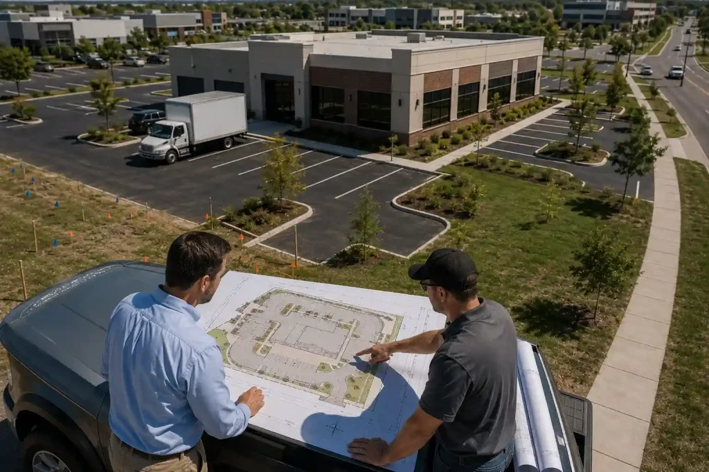
City Permit Plans works with commercial property owners, tenants, contractors, architects, designers, investors, brokers, and project managers throughout the United States. We can research the property, review available documents, prepare or update the commercial site plan drawing, and coordinate permit comments remotely.
Local requirements still control the project. A city may require a locally licensed professional, physical survey, in-person pre-application meeting, public hearing, traffic study, civil package, fire review, landscape seal, or specific electronic submission standard. Availability and scope are confirmed after the address and project are reviewed. When a local or licensed professional is required, we identify that dependency before presenting remote drafting as a complete solution.
All 50 statesRemote commercial site-plan drafting and research
Multiple industriesRetail, office, medical, restaurant, warehouse, and more
Local checklist reviewScope adjusted to the specific jurisdiction and permit path
Professional coordinationClear handoff with surveyors, architects, engineers, and contractors
Commercial Site Plan FAQs
Answers About Scope, Cost, Drawings, and Professional Requirements.
These questions address common searches from property owners and project teams comparing commercial site plan examples, software, drafting services, surveys, architectural plans, and engineering packages.
A commercial site plan is a scaled drawing of the property showing how buildings and site improvements relate to parcel boundaries, zoning standards, parking, circulation, accessible routes, loading, fire access, utilities, landscaping, drainage, and neighboring conditions. It may support zoning review, building permits, site development, tenant improvements, additions, changes of use, or early feasibility.
Typical elements include property lines and dimensions, rights-of-way, easements, existing and proposed buildings, setbacks, parking counts, accessible spaces, driveways, drive aisles, sidewalks, loading, fire lanes, hydrants, trash areas, utilities, landscape areas, lighting, grading or drainage information, zoning data, north arrow, scale, legend, notes, and project identification. The exact checklist depends on the agency and scope.
Commercial site plan cost is custom quoted because project scopes vary widely. Important factors include parcel size, number of buildings, existing survey quality, proposed use, parking and circulation complexity, required sheets, utilities, grading, drainage, landscape, fire review, agency standards, professional seals, and correction cycles. Government and third-party professional fees are separate unless included in writing.
You may be able to create a conceptual sketch for early planning or discussion. Permit and development applications often require a scaled plan based on reliable property data, and some documents must be signed or sealed by licensed professionals. A DIY drawing is most risky when boundaries, elevations, grading, utilities, parking calculations, accessibility, fire access, or engineering decisions are involved.
A drafter, architect, civil engineer, landscape architect, planner, or surveyor may prepare all or part of the plan depending on purpose and local law. Drafting can organize the property and project information, while legal boundary certification, grading, drainage, utilities, structural work, and professional seals must be supplied by the appropriately licensed person when required.
Many commercial permit and development projects benefit from or require a current boundary and topographic survey. Public parcel data, an old survey, or prior approved plans may support preliminary drafting, but they may not provide current elevations, utilities, improvements, easements, or legal boundary certification. We review available documents and identify when updated survey work is necessary.
The site plan shows the building on the property and coordinates external conditions such as parking, access, utilities, setbacks, landscaping, and drainage. The commercial building plans show the floor layout, elevations, sections, materials, structural systems, mechanical, electrical, plumbing, accessibility details, and construction requirements. They are separate but coordinated documents.
Yes, if the existing drawing is reliable and the update scope is clear. We can review prior site plans, surveys, PDFs, CAD files, permit sets, or agency records and prepare revisions for additions, parking changes, access changes, tenant improvements, new equipment, outdoor areas, signs, or other modifications. Field verification or a new survey may be required when the existing plan does not match current conditions.
Yes. Zoning review commonly relies on the site plan to evaluate use, setbacks, building placement, parking, landscaping, open space, access, loading, signs, and other development standards. Some projects require only administrative zoning clearance, while others require formal site-plan review, design review, conditional use, variance, or public hearing. The drawing scope should match the specific process.
Our drafting and coordination service is available remotely across the United States. We review the property, documents, and local requirements online. If the project requires field surveying, local professional seals, in-person meetings, testing, or jurisdiction-specific specialists, we identify those needs before confirming the final scope.
Start Your Commercial Site Plan
Tell Us About the Property, Proposed Use, and Review Stage.
You can request a quote during early feasibility, before permit submission, or after receiving agency comments. Provide the project address, intended commercial use, expected site changes, documents available, and the reviewing agency when known. We will define the drafting scope and identify any required licensed-professional inputs.
Custom commercial site plan quote after scope review
New development, additions, tenant improvements, and site changes
Parking, access, loading, accessibility, utilities, and site coordination
Clear distinction between drafting and licensed engineering or surveying
Remote commercial project support throughout the United States