What is a site plan, and why does your permit office need one?
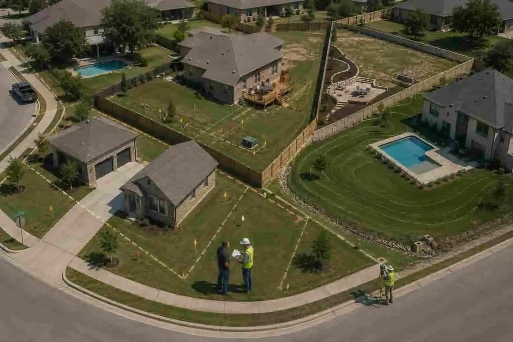
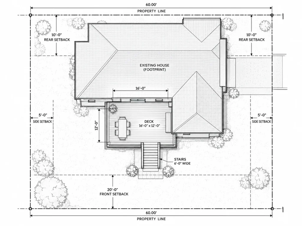
A site plan is a scaled, overhead drawing of a property. It shows the parcel boundary, existing buildings and improvements, the location of proposed work, and the distances needed to evaluate zoning, setbacks, access, and permit compliance.
Permit applications for fences, decks, pools, sheds, additions, ADUs, and commercial work need more than a written description. The reviewer must see where the project sits on the lot, how it relates to existing structures, and whether its placement appears to meet setbacks and zoning rules.
A permit site plan provides that context. Unlike a floor plan, which shows the inside of a building, a site plan shows the entire property from above and uses a stated scale so distances can be reviewed consistently.
The drawing may include lot lines, street frontage, the house, driveway, patios, accessory buildings, easement information when available, and the proposed work. It also commonly includes a north arrow, title block, dimensions, setback callouts, and labels separating existing from proposed conditions.
Requirements differ by jurisdiction and project. A city may accept a non-certified drawing for a backyard fence but require a signed survey near an uncertain boundary. Pools may need barrier and equipment details, while ADUs often require lot coverage and additional zoning notes. A professional plan should therefore be prepared around the property and permit checklist–not copied from a generic template.
City Permit Plans provides non-certified drafting plans. For many routine residential permits, this is faster and more affordable than ordering a new field survey. When the available records or local instructions indicate that a licensed surveyor, engineer, architect, or other professional is required, that limitation should be addressed before submission.